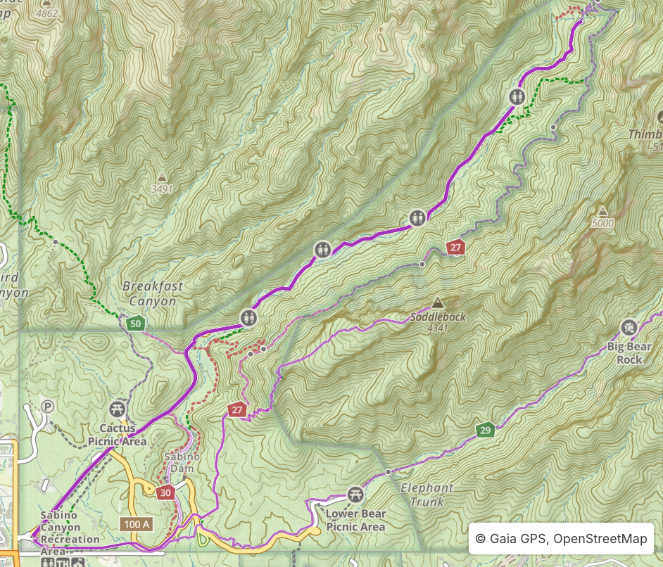
Sabino Canyon Roadway
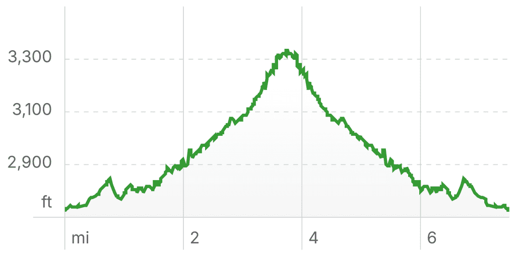
Length: 0 miles – 7.6 miles (round trip)
Elevation Gain: 1,233 ft
Overview
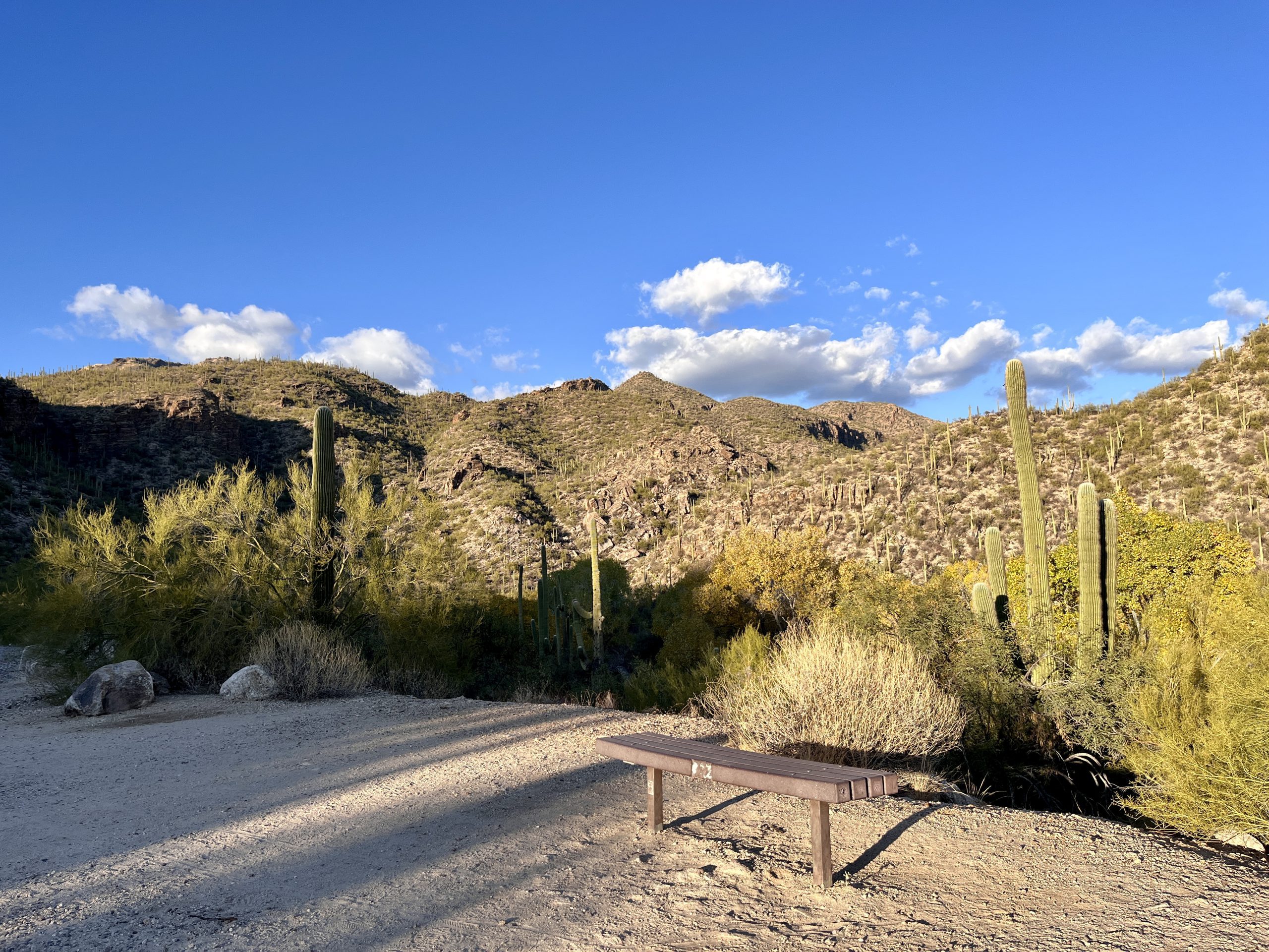
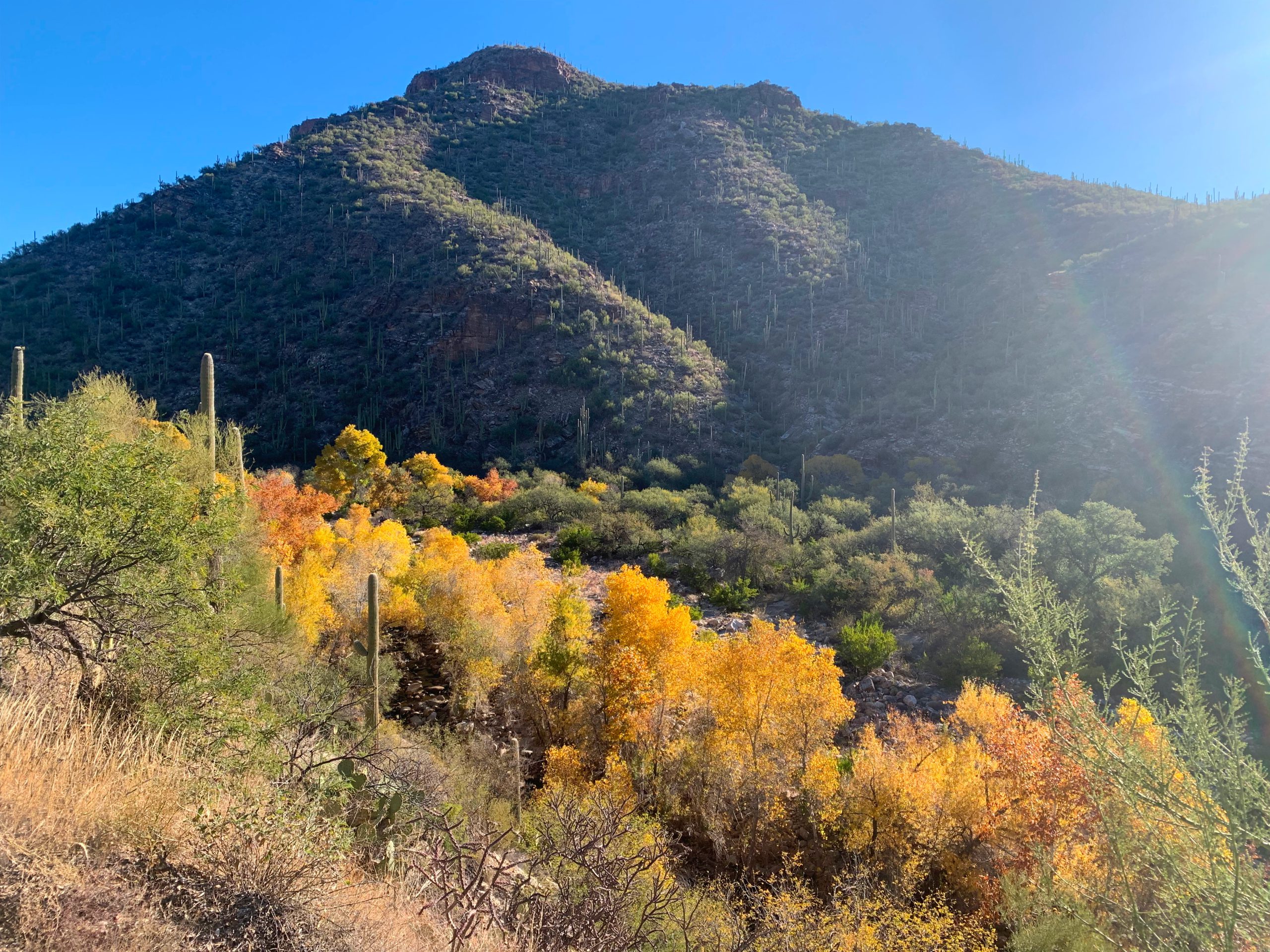
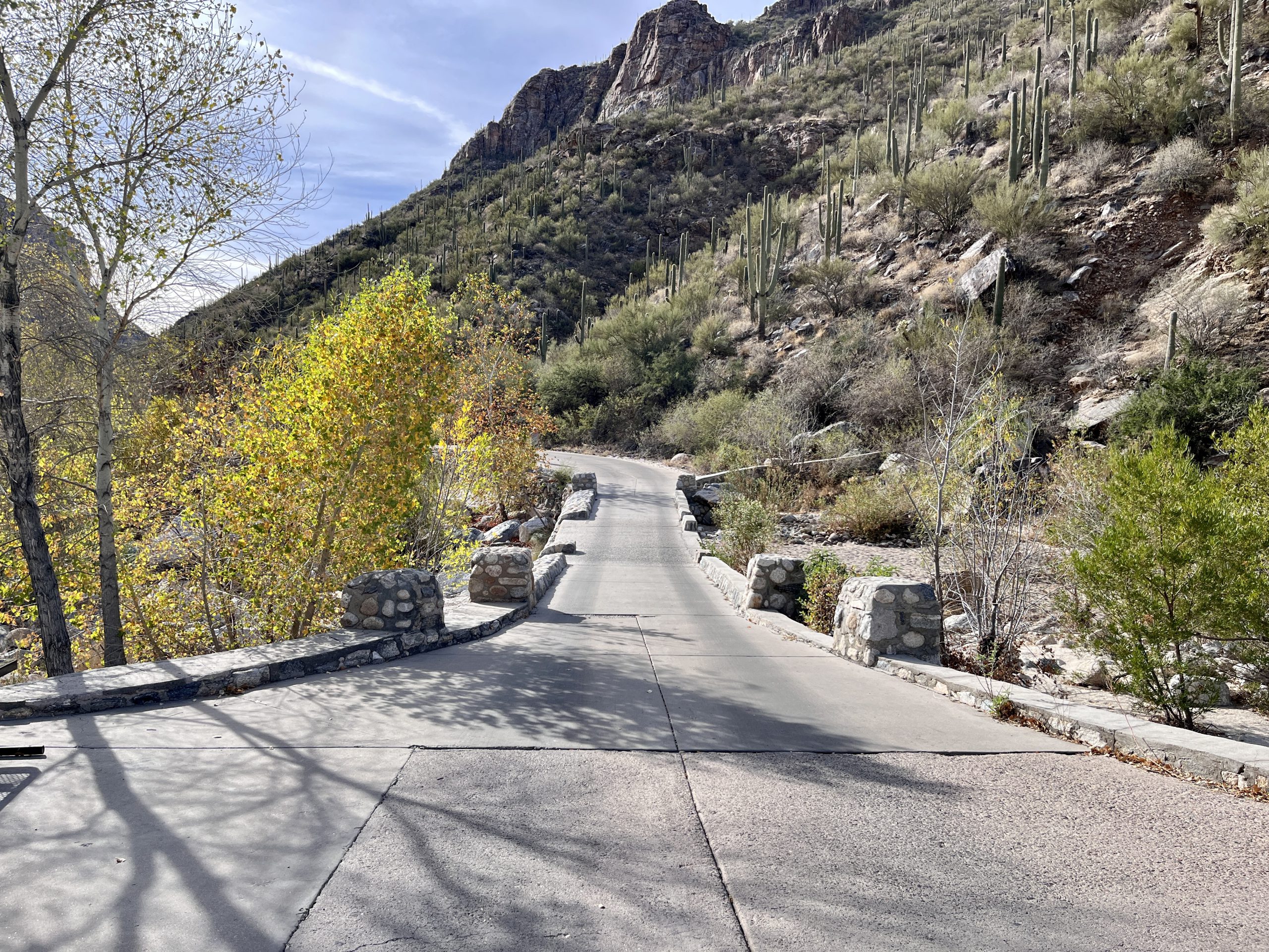
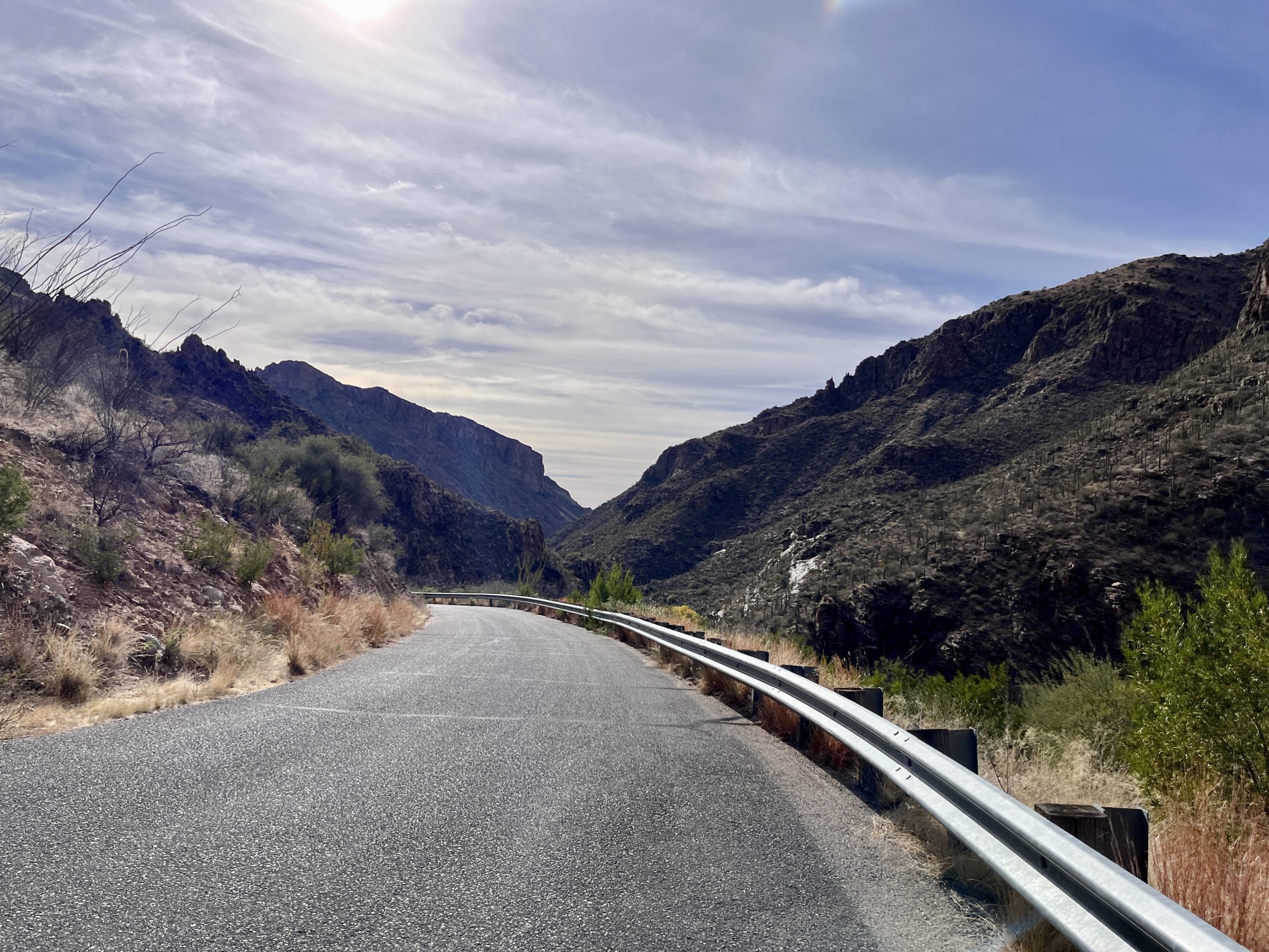
Sabino Canyon Roadway offers visitors beautiful views and access to several trailheads along Sabino Canyon. The road is 3.8 miles from the Visitor Center to its end, making the round trip 7.6 miles. No matter how much of the roadway pedestrians complete, each bend in the canyon offers spectacular views well worth the trip. The road features nine stone bridges that cross over Sabino Creek.
Directions
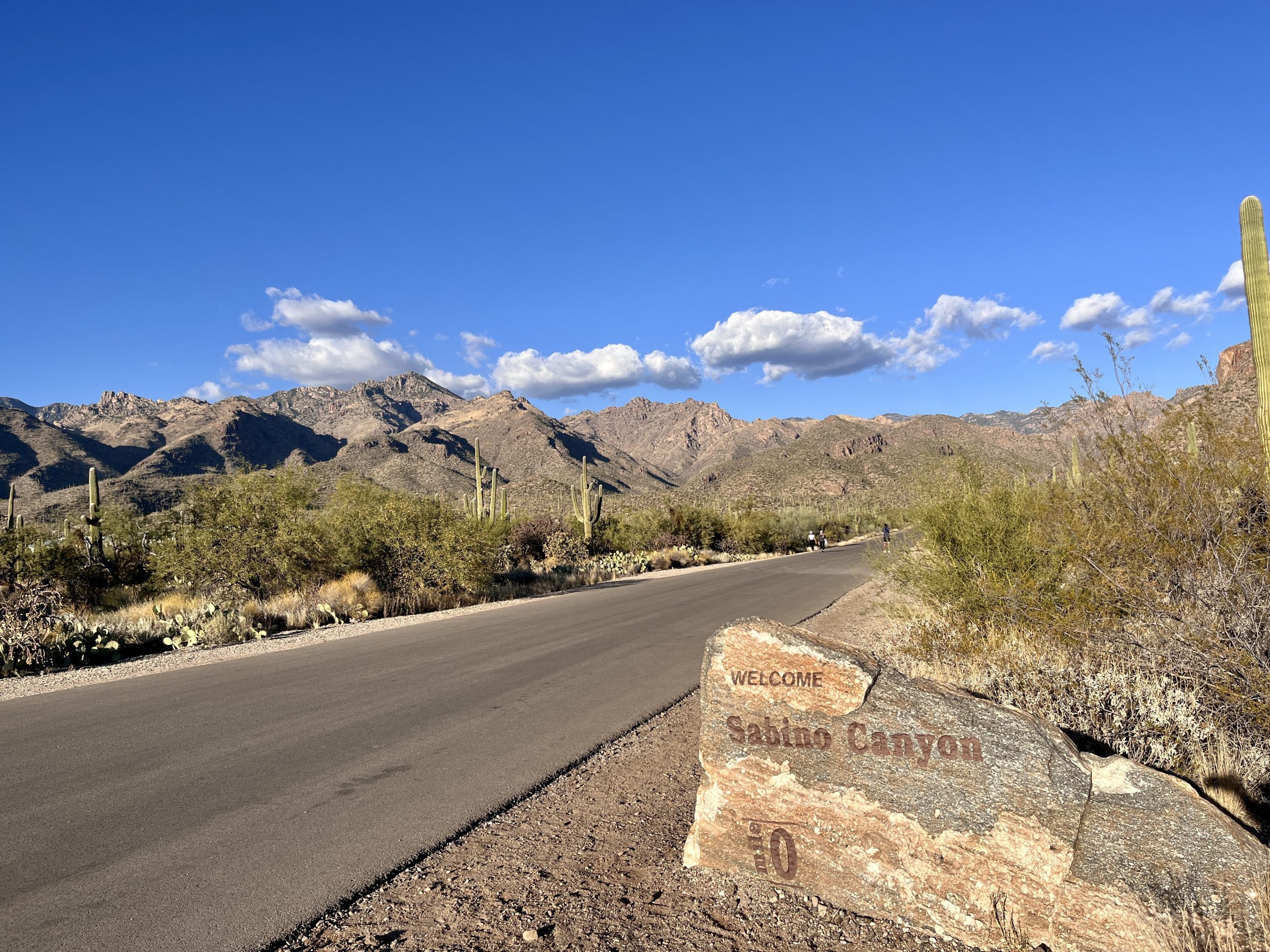
The beginning of Sabino Canyon Roadway is just northwest of the Sabino Canyon Visitor Center and north of the main parking lot. There, you’ll see the Crawler (shuttle) turnaround and ticket booth, vending machines and the coffee cart. If enjoying all or part of Sabino Canyon Roadway via the “Crawler,” go here to learn more and plan your trip.
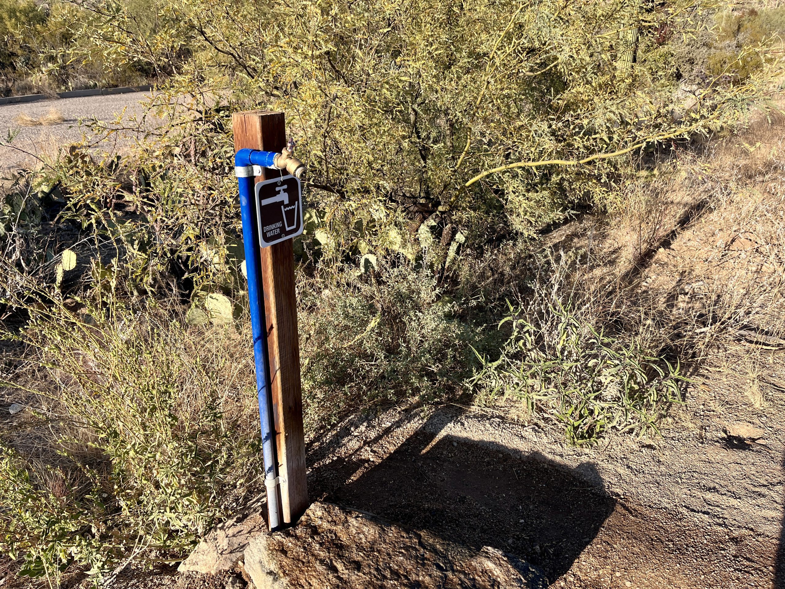
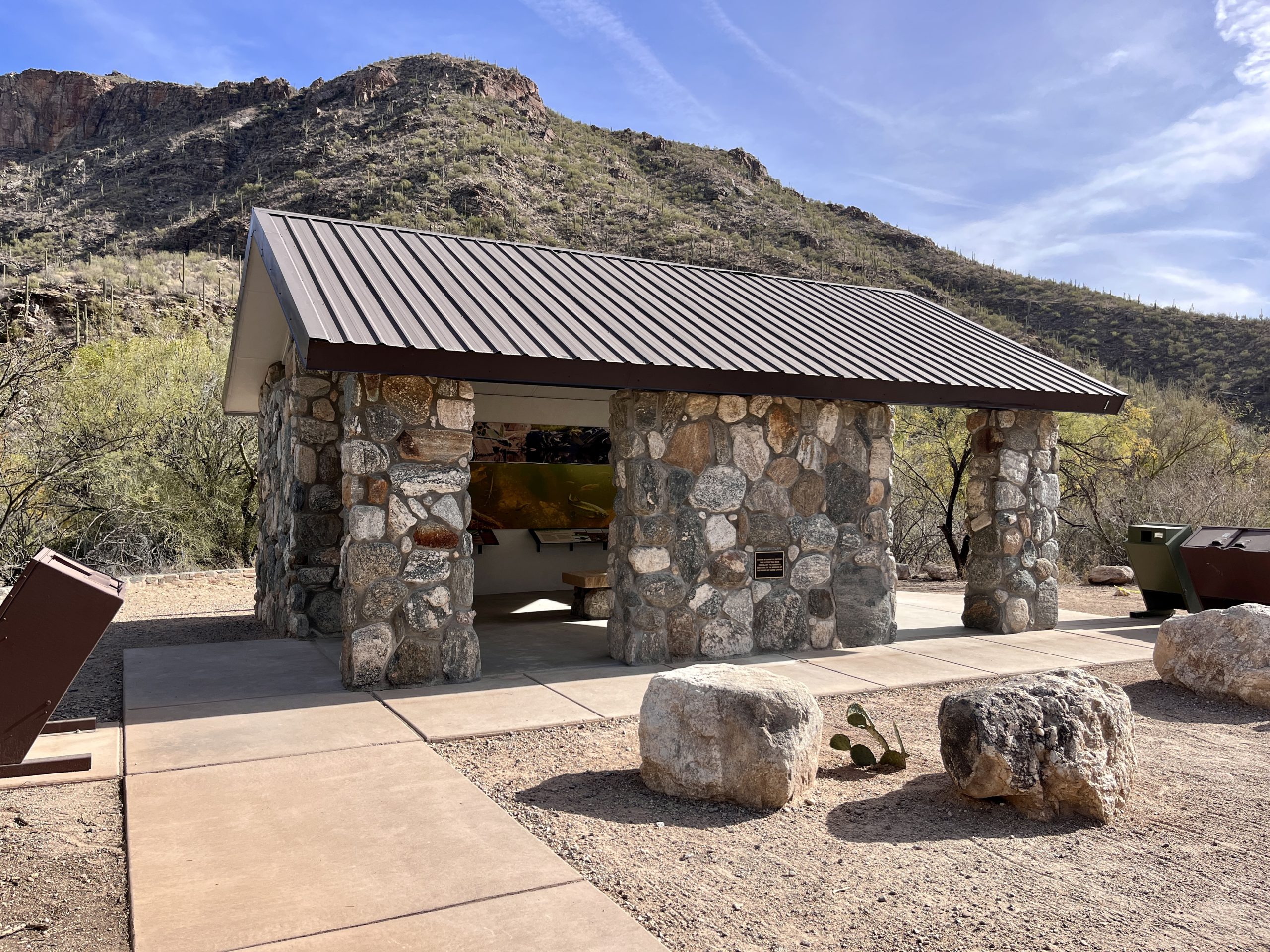
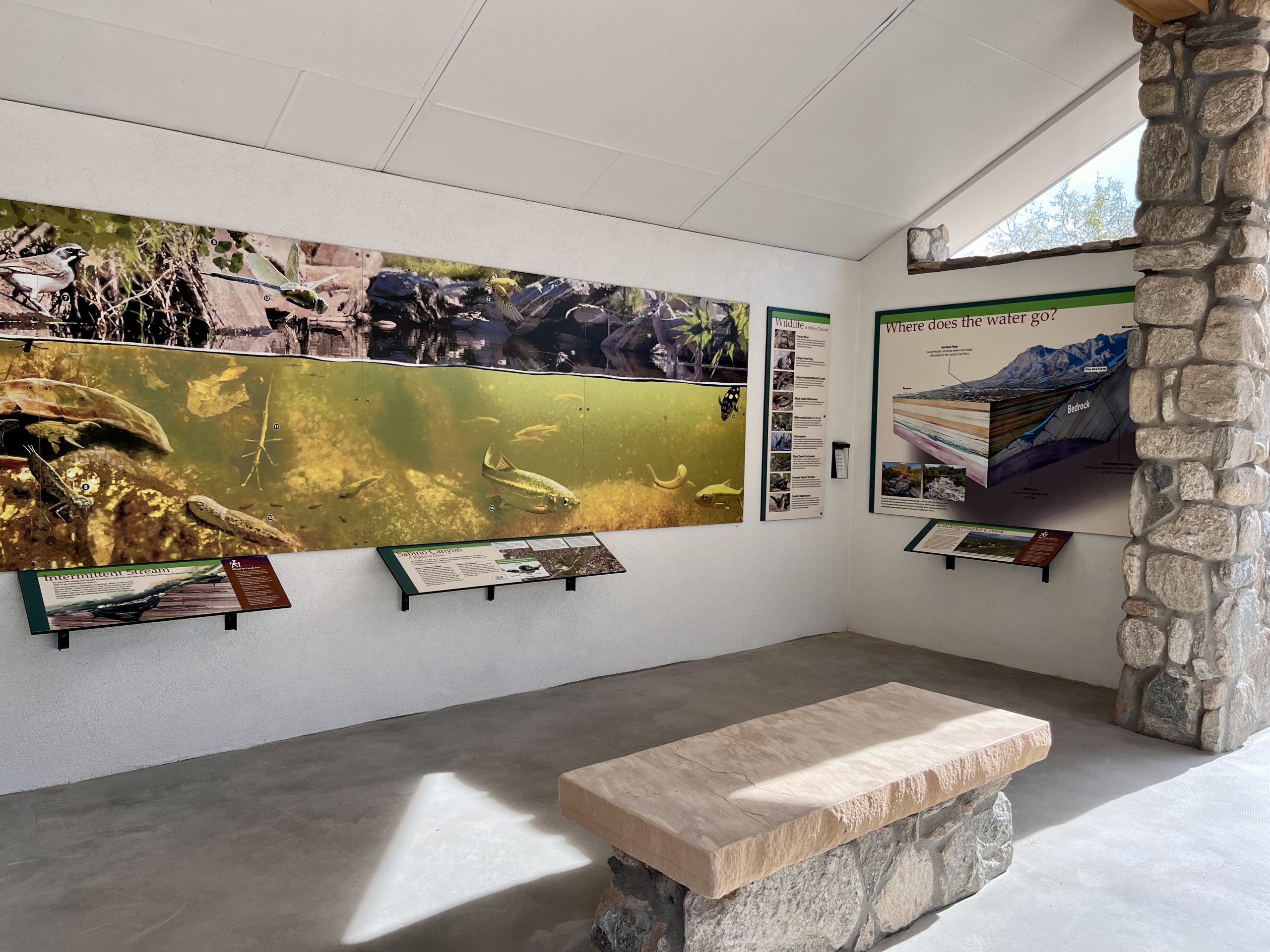
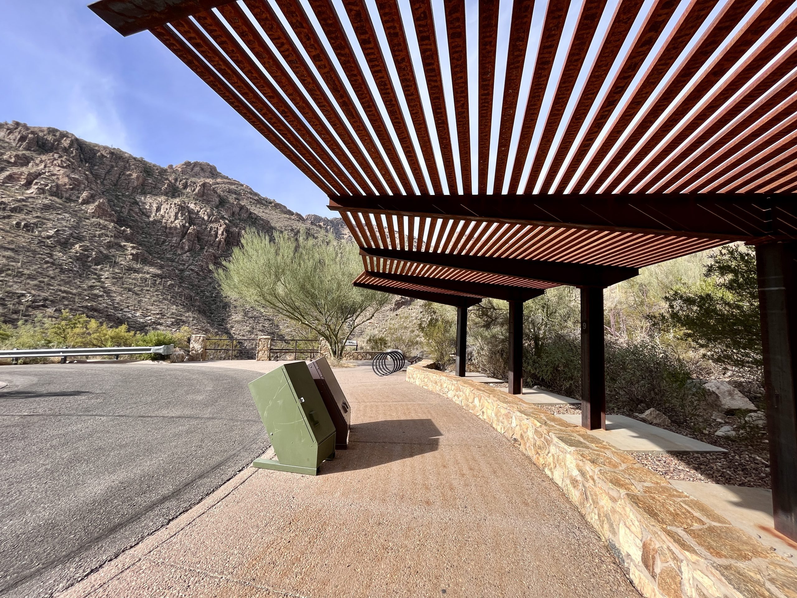
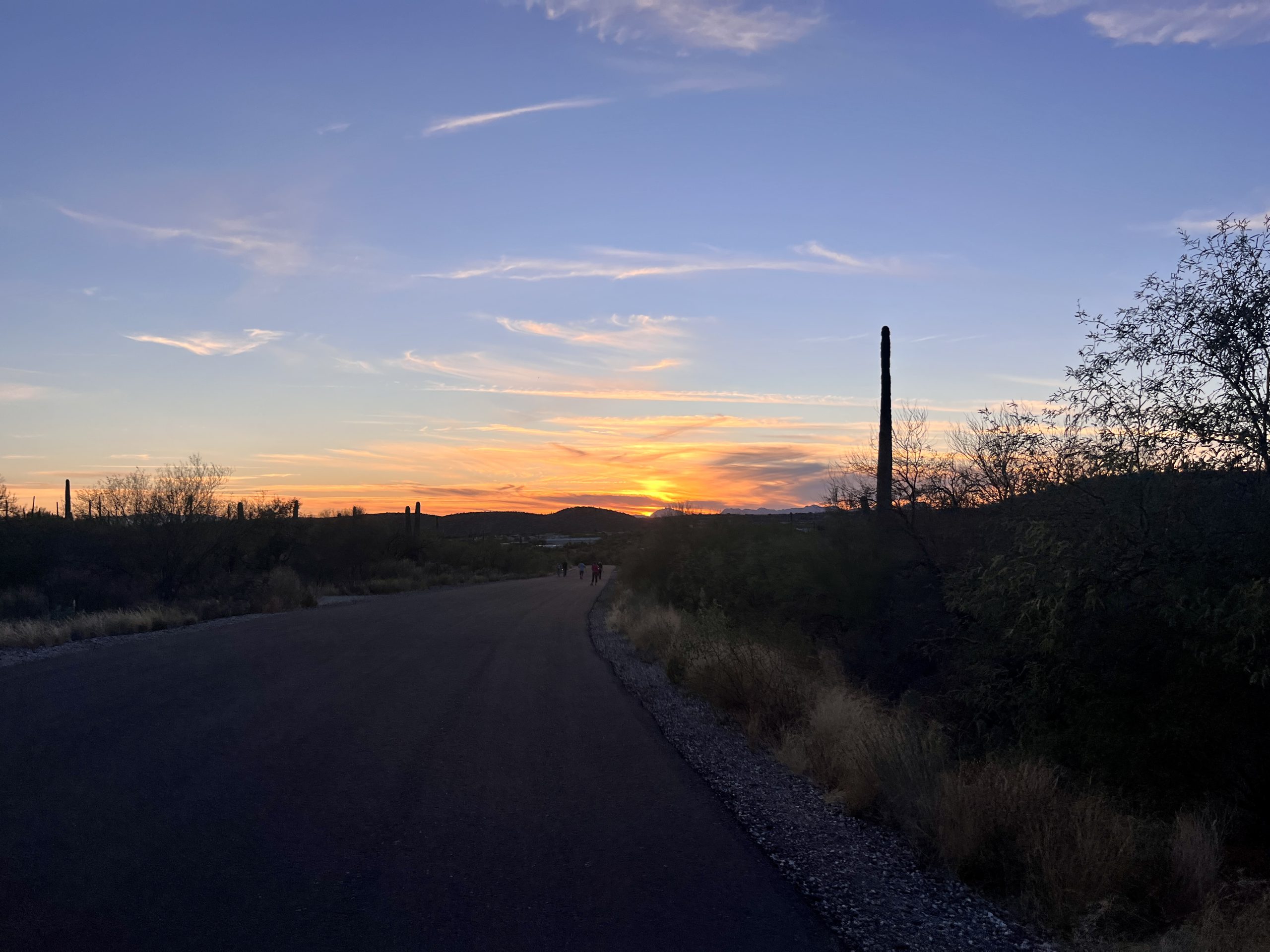
If enjoying the canyon by foot: The first 3/4 mile of Sabino Canyon Roadway is very flat until “the hill,” which is where the roadway dips down into the canyon to follow Sabino Creek. At Shuttle Stop 1, located at the bottom of the hill and just over a mile from the visitor center, we hope you’ll visit the newly opened Interpretive Outpost and enjoy the nearby amenities including restrooms, water, and picnic tables. Continuing on from here the road begins to narrow and steepen as it winds up through the canyon and crosses over the creek nine times. Shuttle Stop 9 is the end of the road. The roadway is open to walkers and runners any time of day 7 days a week.
If enjoying the canyon by bicycle: This is a nice way to travel the canyon roadways. The speed limit is 15mph and is strictly enforced. Please slow and use caution when crossing the bridges in the canyon. Please slow and be courteous when passing other pedestrians. Bicyclists are welcome on the road before 9:00 AM and after 5:00 PM every day EXCEPT on Wednesdays or Saturdays. E-bikes and other motorized bikes are not allowed in Sabino Canyon beyond the parking lot.
Safety
This is a long and exposed hike on pavement. Pack accordingly and plan for this hike to take at least a half day to complete. If mid hike you feel you have overcommitted, turn around, and if between the hours of 9am and 4pm head to the nearest shuttle stop.
There is some drinking water along the route; however it may not be located where you need it when you need it. Please pack your water for the day with you. You’ll find a full list and map of drinking water and restroom locations here.
Swimming in Sabino Creek provides a wonderful way to experience the natural beauty of the canyon, especially during the hot Arizona summers. Always check the water levels and flow rates before planning to swim. Please be aware that any recent rains may mean there is water on the road, and at times it may be unsafe to hike or swim.
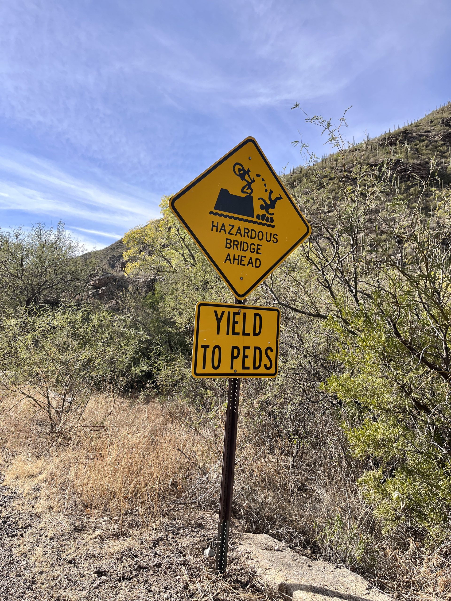
Recent rains may deposit silt and sand onto the roadway at the bridge crossings. Bicyclists please slow and use caution in these areas. The bridges are also very narrow, with steep drop-offs and uneven surfaces.
Hikers please yield to the shuttle as it approaches and passes. Yield to the shuttle on all bridges.
Cell phone reception passed “the hill” (the first mile out from the visitor center) is almost non-existent.
Be sure to visit the Know Before You Go page for additional safety information.