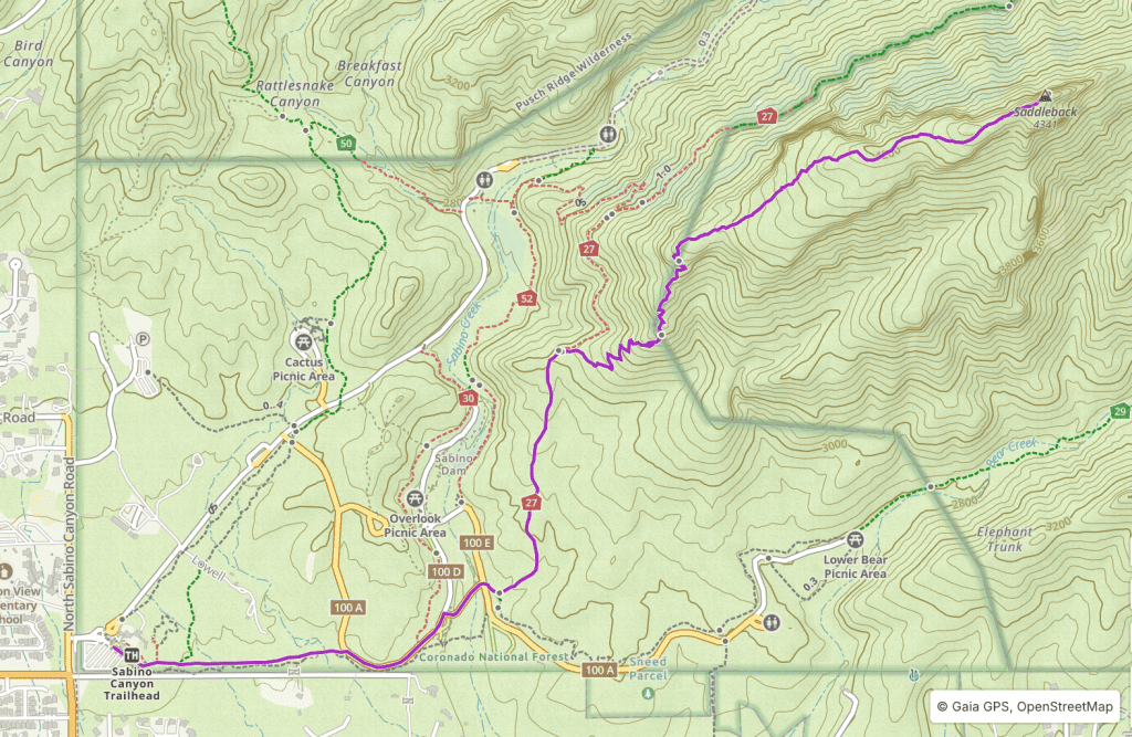
Blackett’s Ridge
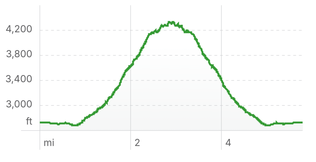
Length: 5.8 miles (round trip)
Elevation Gain: 1,980 ft
Overview
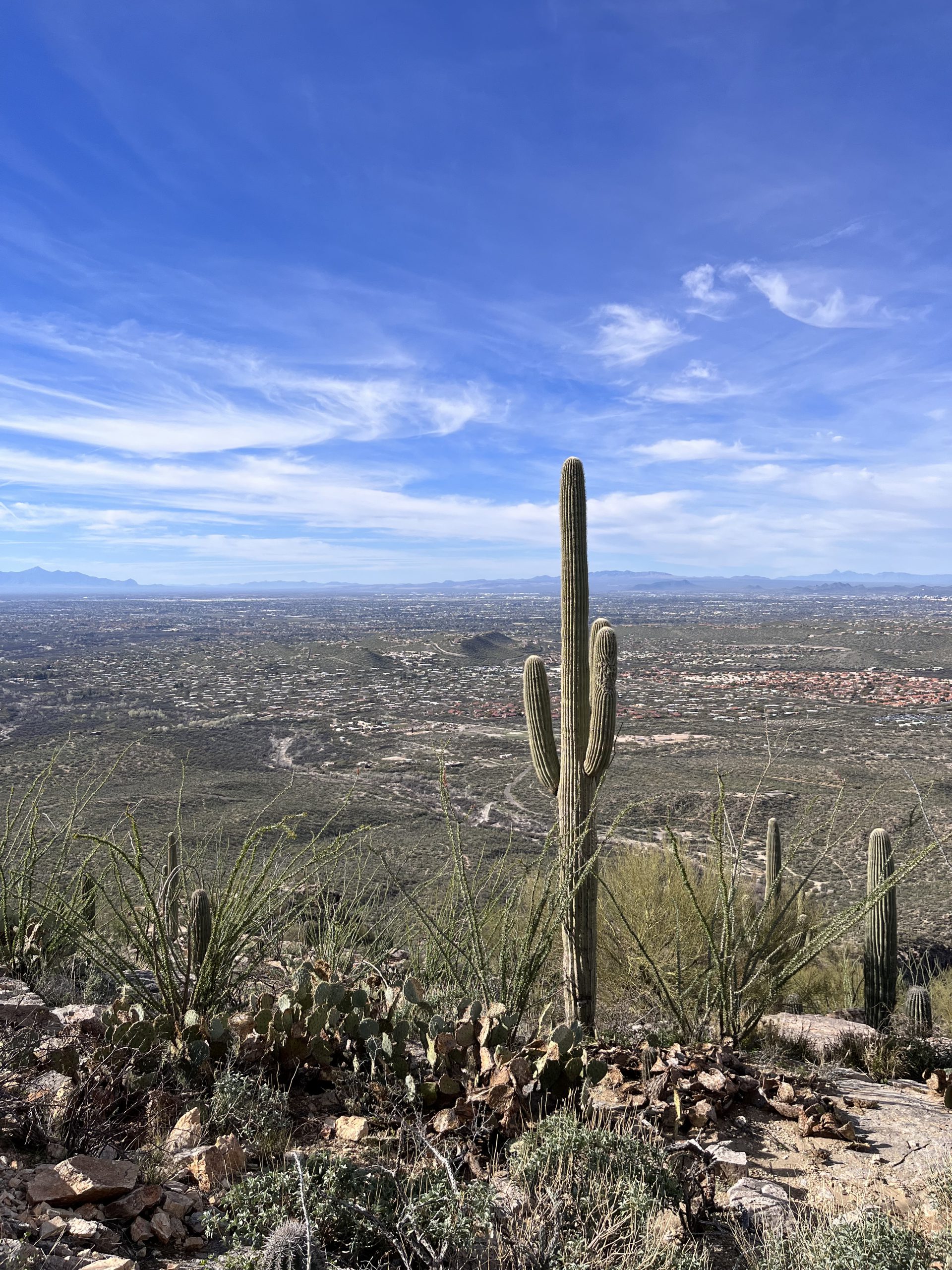
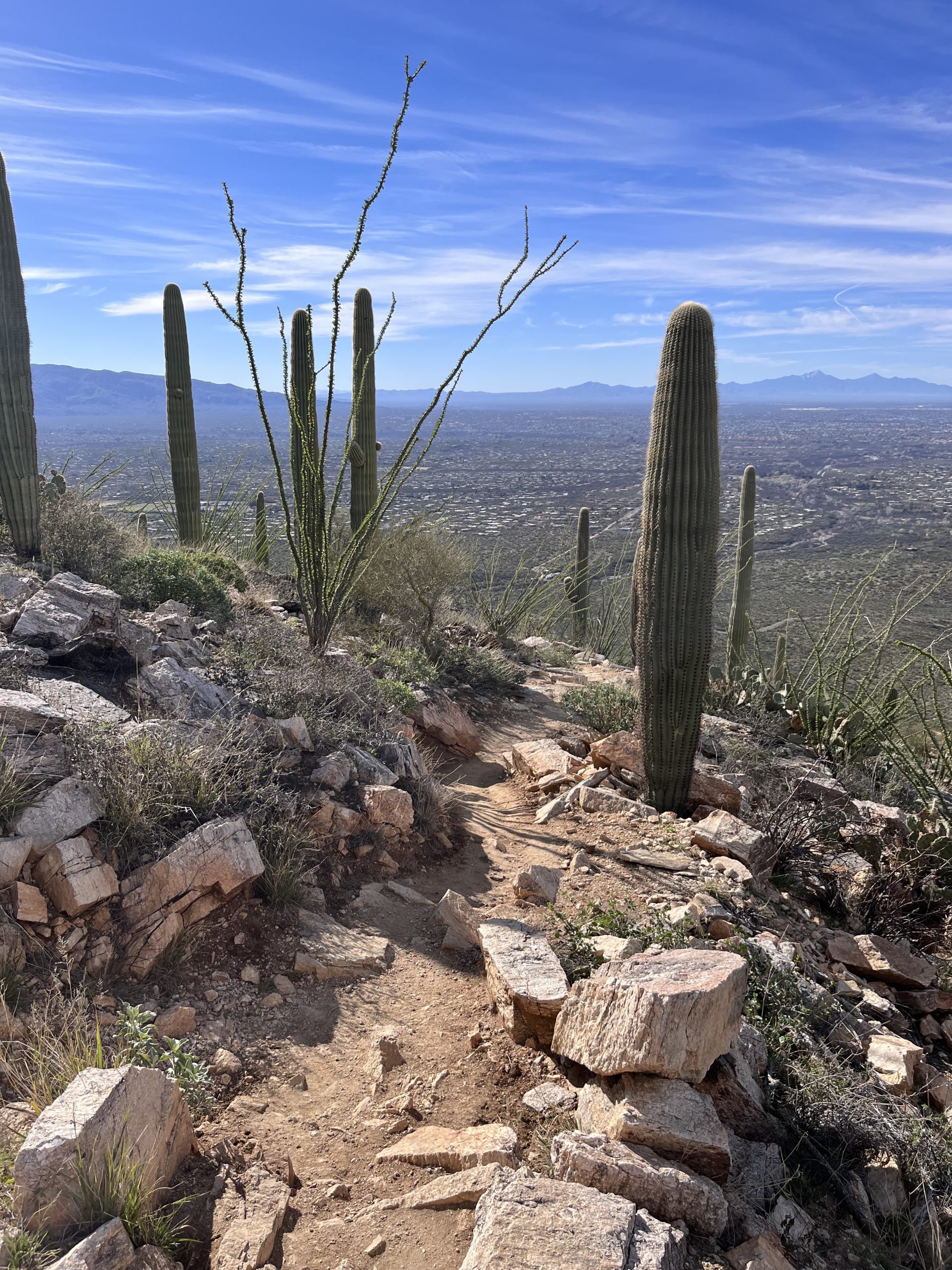
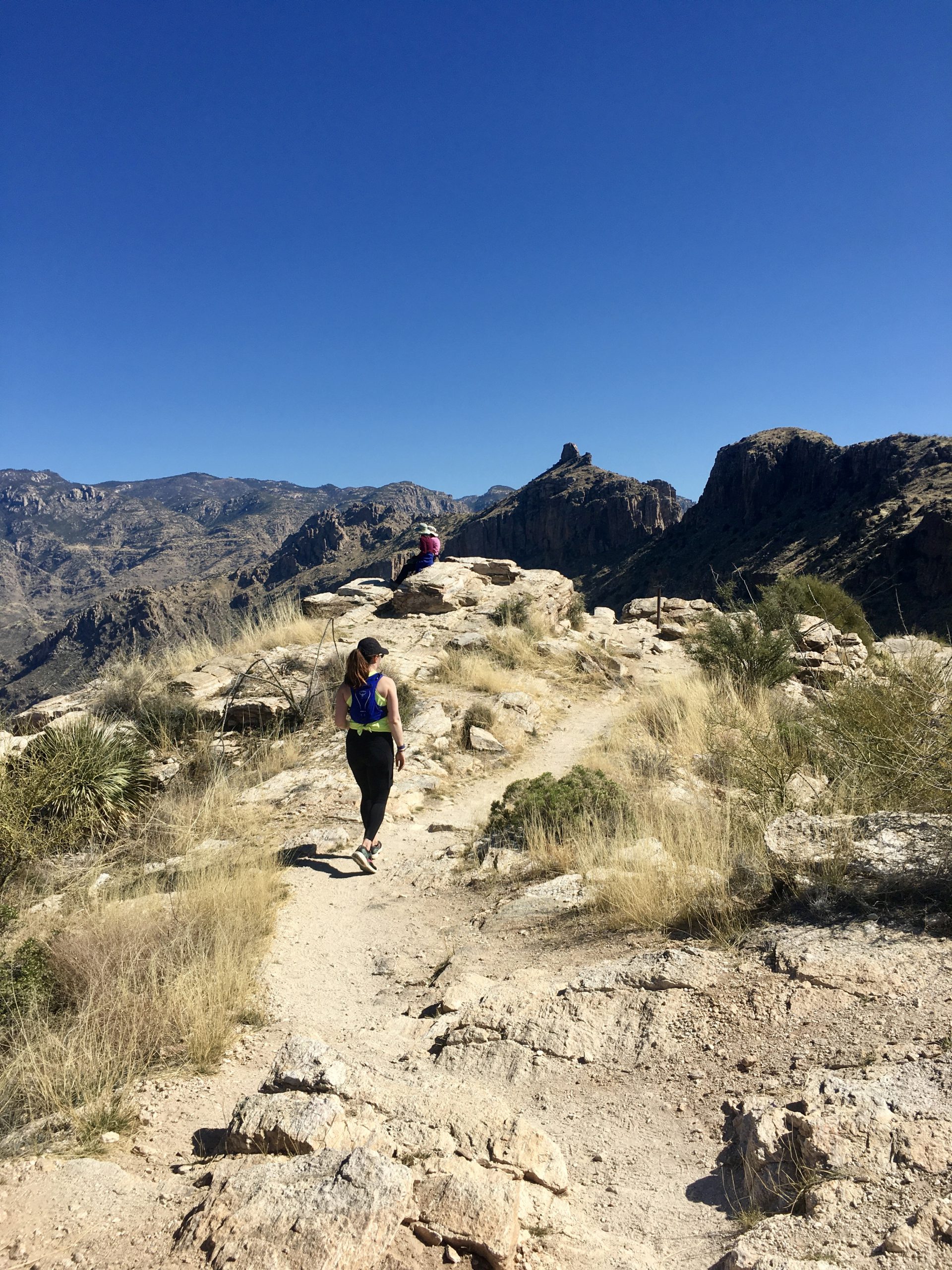
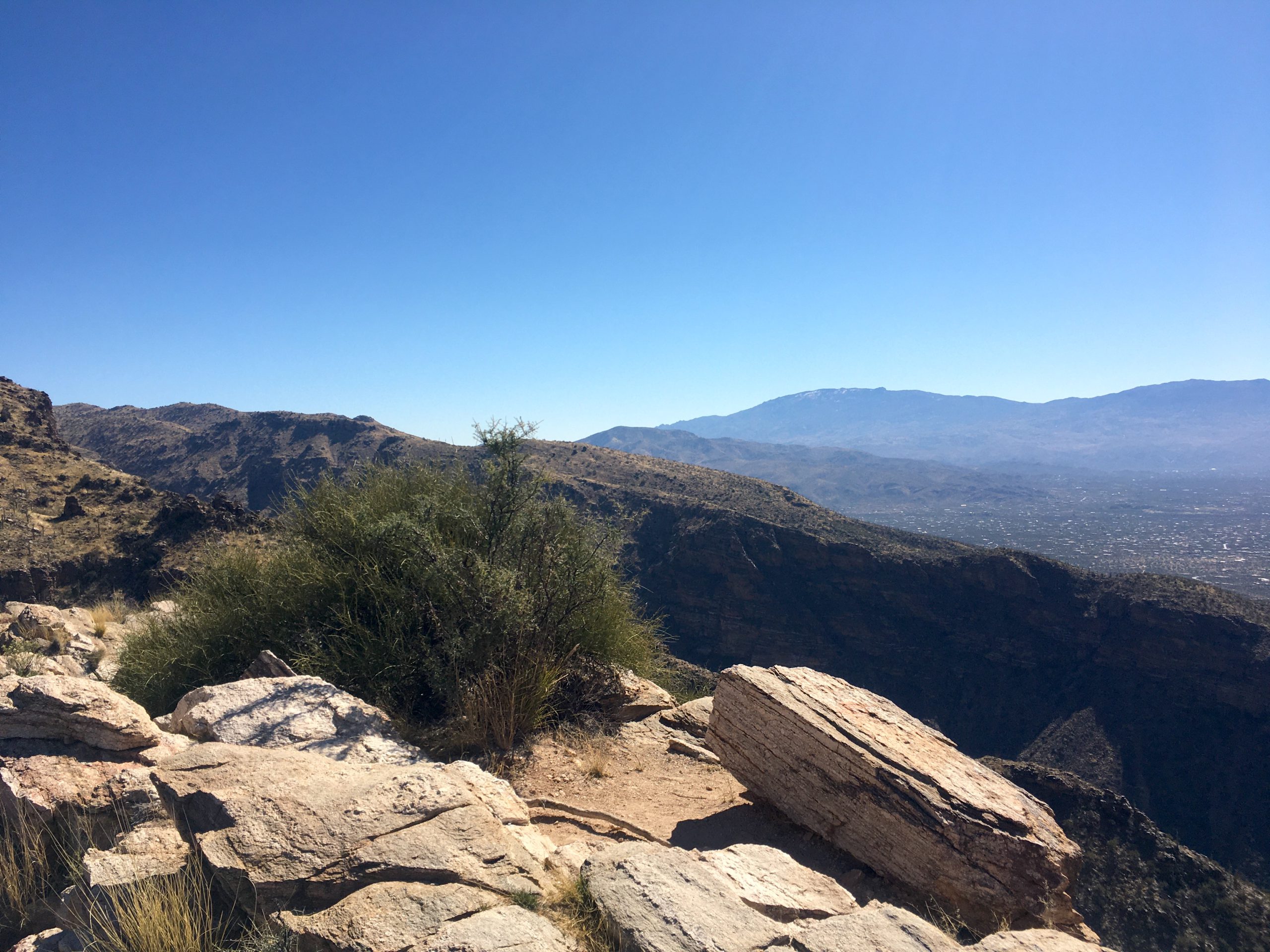
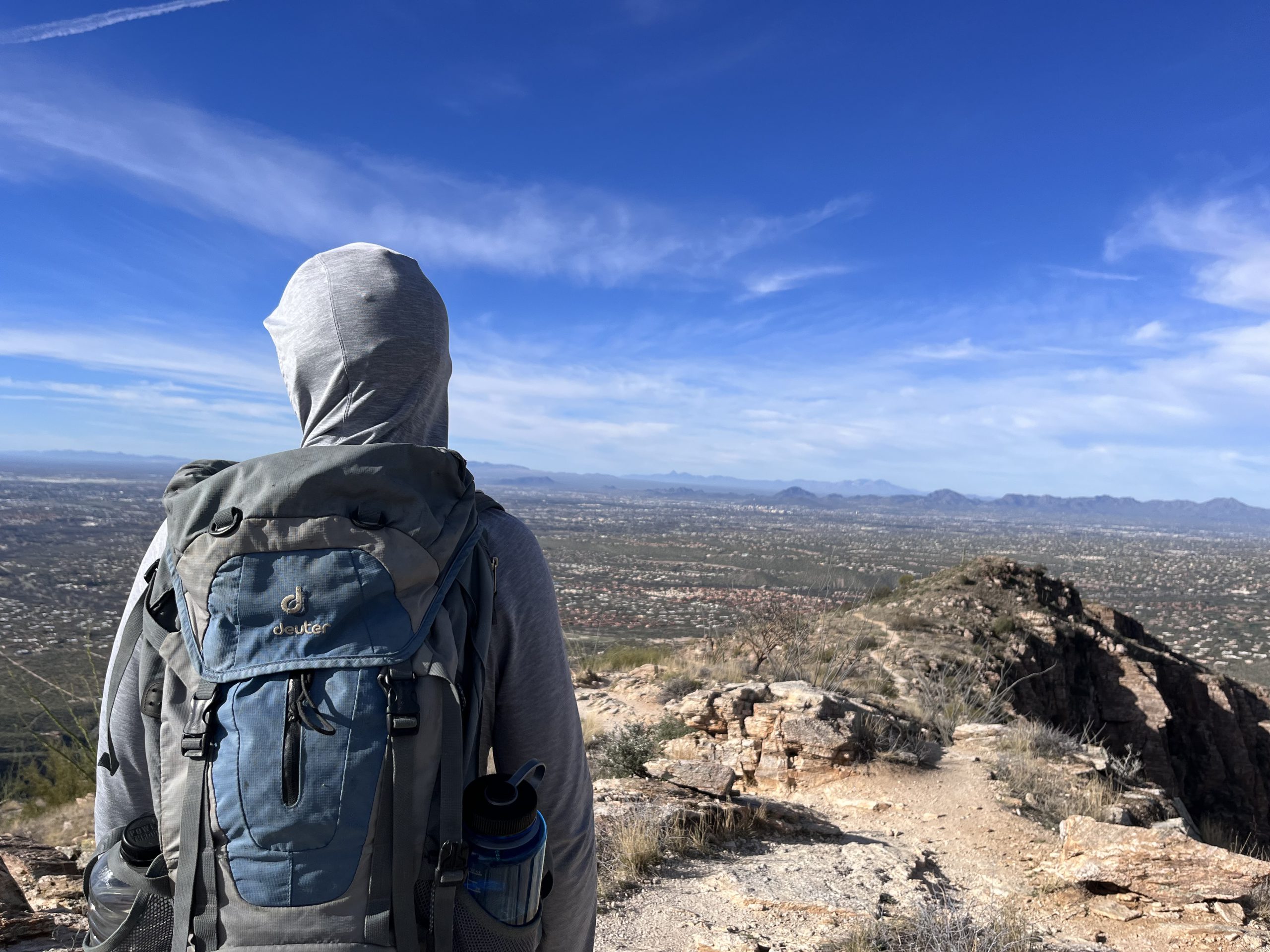
Blackett’s Ridge is a very strenuous hike with over 1,900 feet in elevation gain round trip. Those who make the climb are rewarded with beautiful views of the canyon and surrounding areas.
Directions
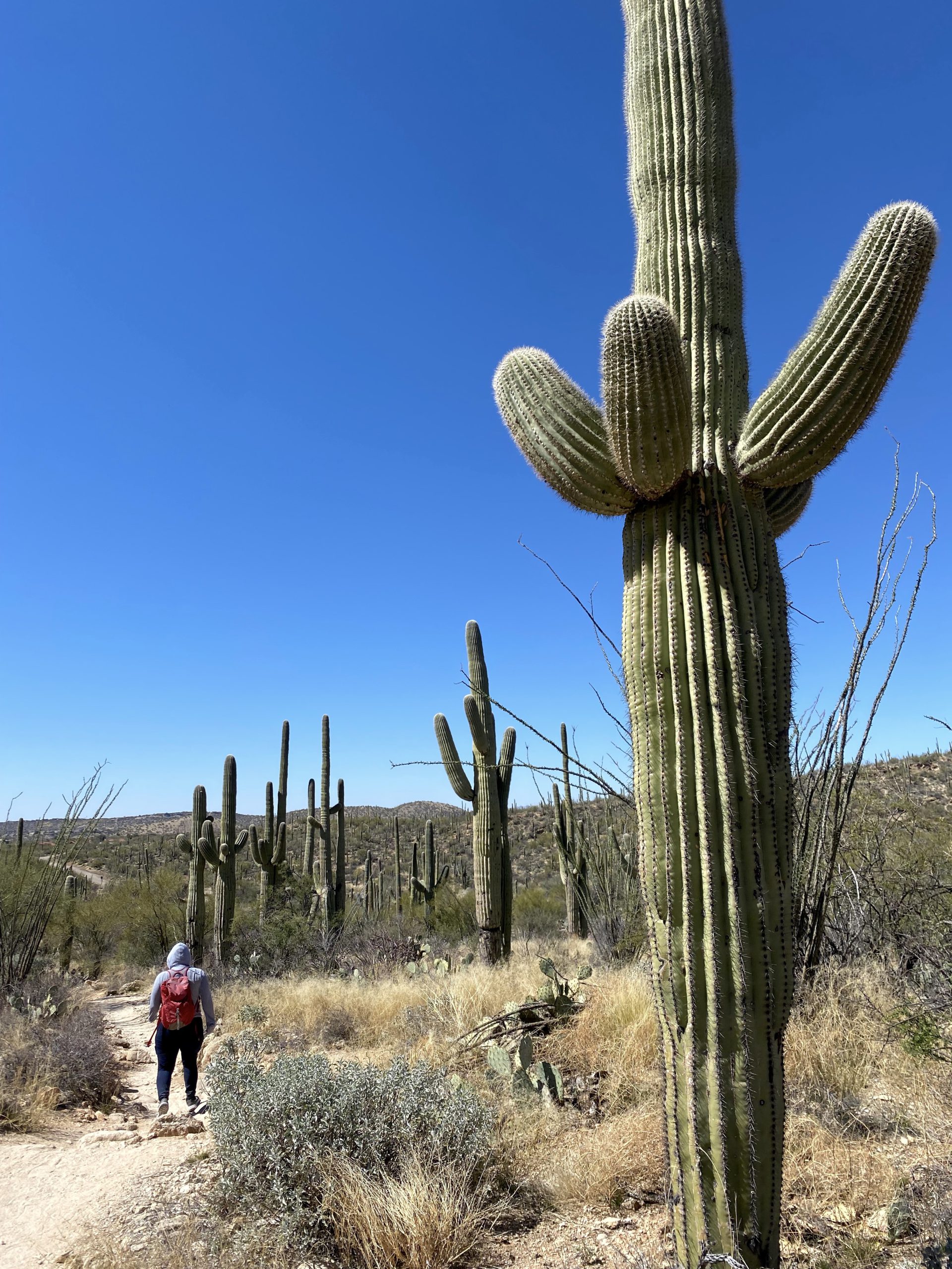
From the visitor center take the Bear Canyon Trail east for a half a mile to its junction with Bear Canyon Roadway. Take a right on Bear Canyon Roadway and follow it for a quarter mile to Bear Canyon Shuttle Stop 2. Make a soft right at the Y in the road here and cross through Lower Sabino Creek. On the other side of the creek, you will come to a T in the road, however you will want to leave the pavement by continuing straight through the T and onto Phoneline Trail. This is where the steep climb begins.
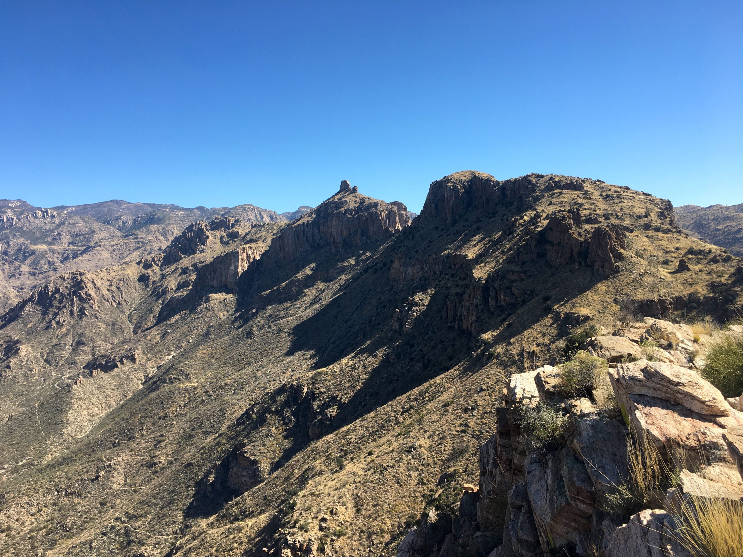
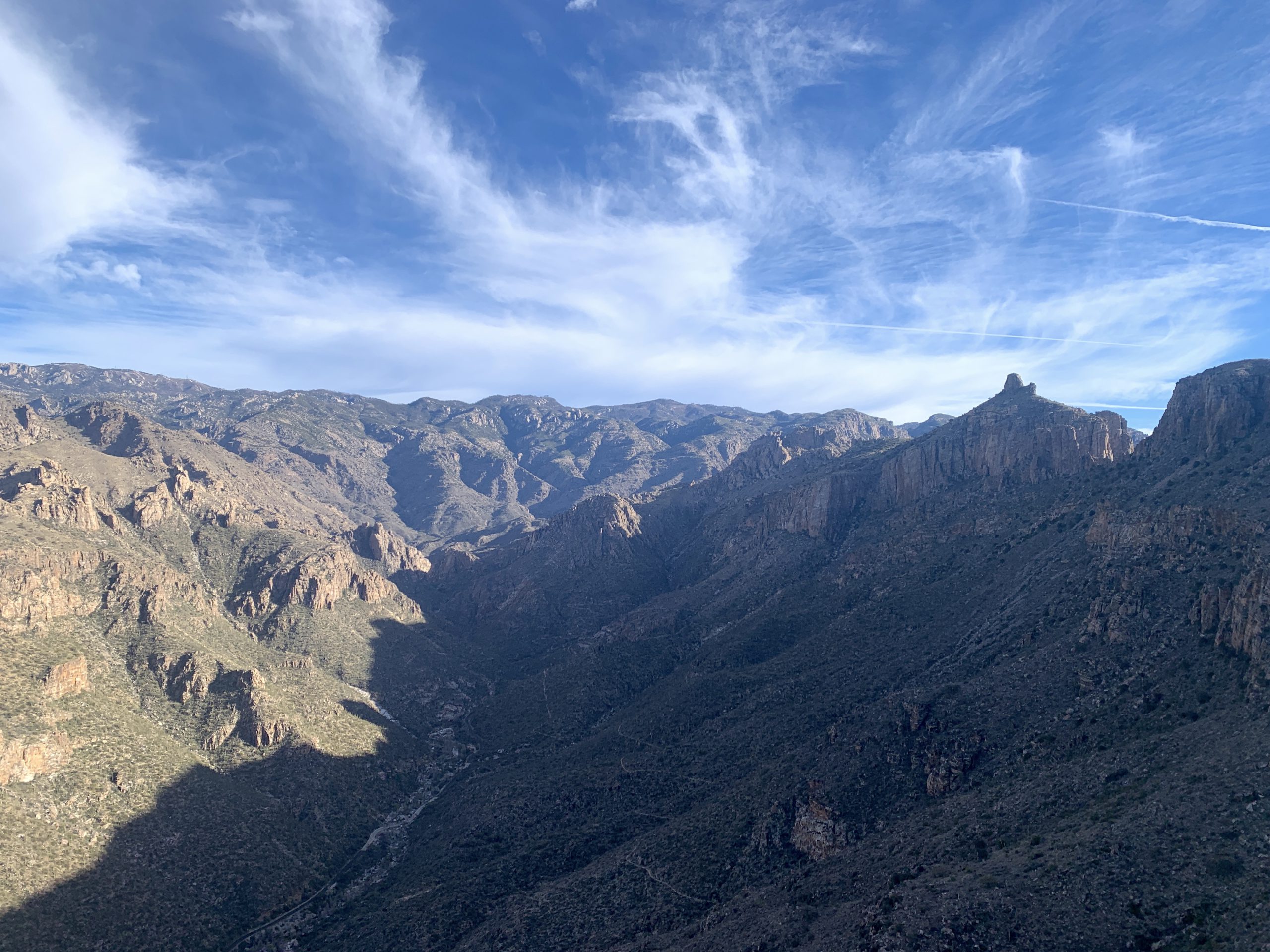
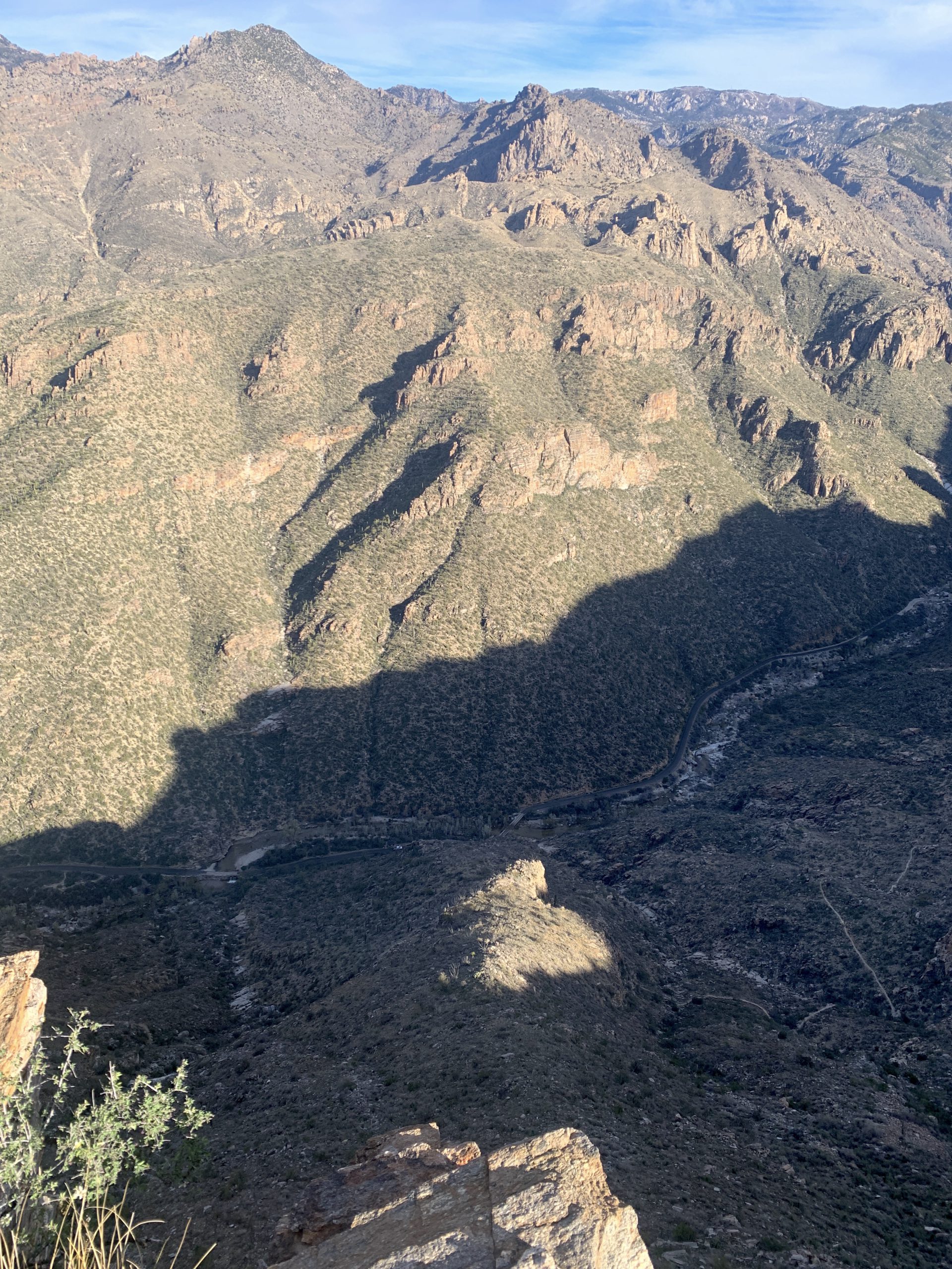
Continue up Phoneline Trail for 0.6 miles to the junction with Blackett’s Ridge Trail. Turn right onto Blackett’s Ridge Trail and continue for 1.5 miles to the trail’s terminus. There are excellent views to the west during this climb and a stunning 360-degree viewpoint at the trail’s terminus. Round trip distance is 5.8 miles.
Note: You can reduce the total distance of this hike by 0.75 miles each direction if you take the Bear Canyon Shuttle to Shuttle Stop 2. Taking the crawler both out and back reduces the hike to 4.3 miles total, although this doesn’t reduce the total elevation gain as the climb begins after you leave the pavement.
Safety
This is a very strenuous hike with significant elevation gain. It is recommended to start early in the day to avoid the hottest temperatures from the western sun. Pack plenty of water and turn around before half of your water is gone.
Be sure to visit the Know Before You Go page for additional safety information.